
Common errors and solutions when uploading your data
Help! There’s an error!
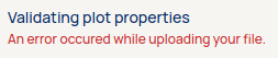
If you see this error message and are unable to upload your data to the Data Manager > Supply Chain, your files contain invalid or incomplete information.
If you run into any errors, an error file is available for download in the user interface. The file contains specific information on the error that occurred on a per feature basis. Use this file to fix your errors before trying to submit the file again.
When dealing with errors, it is possible to validate your file using an online geojson validator. We like geojson.io but there is also an official validator from the European Commision.
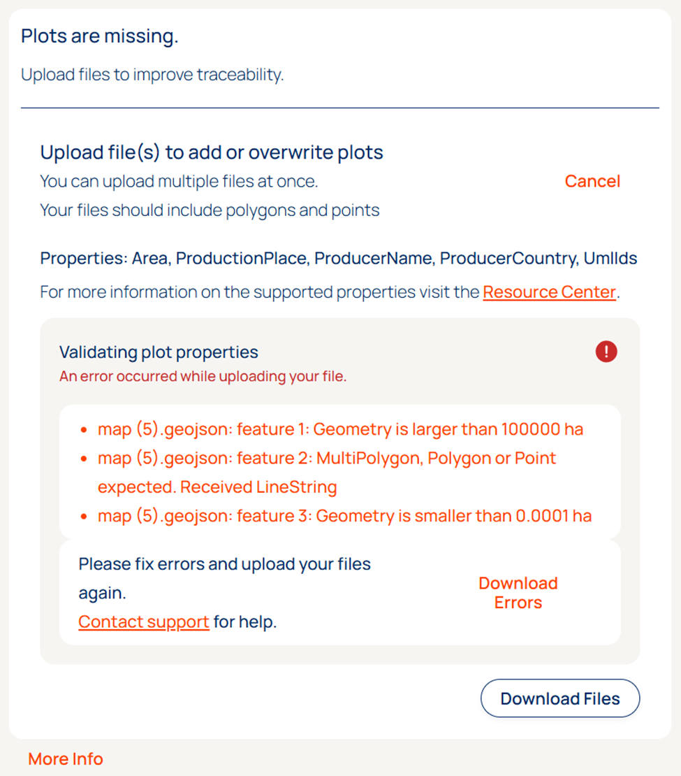
The list below provides an overview of common errors and potential solutions to help you troubleshoot.
If you’re still experiencing issues with uploading your data after you’ve tried these solutions, please contact support@satelligence.com
A supplier cannot have multiple plots with the same geometry: At least two plots share the exact same geometry. Check the row of the indicated file to see whether it's an identical copy of another plot and if it can be removed.Invalid_type ~ Path: Area ~ Message: Expected number, received string: One of the plots has a wrong value in the Area property: in this case the row contains text where a number was expected! Check the row and make sure it's a number (decimals should be separated by a period, not a comma).Invalid_type ~ Path: ProductionPlace ~ Message: Expected string, received number: One of the plots has a wrong value in the ProductionPlace property: the row contains a number where regular text (string) was expected! Check the row and make sure it's correct and if needed place single quotes (') around the ID to make it a string.Geometry is smaller than 0.0001 ha: Plots with an area smaller than 0.0001 hectares are not supported. Consider uploading these as a point. Points will be interpreted as a 4ha circle unless the area property of the feature is included and has a value smaller than 4.
Note: check whether the data is in WGS84 and not projected. Some projections might have very large or small numbers that are interpreted as small or large plots. The current GeoJSON standard (RFC 7946) does not allow for a CRS property.Geometry is larger than 100000 ha: Plots with an area of 100,000 ha are unlikely to be correct. In case the location / geometry is correct it's recommended to split up the plots into subplots and submit those instead. This will also help mitigation efforts in case deforestation happens within plot boundaries.
Note: check whether the data is in WGS84 and not projected. Some projections might have very large or small numbers that are interpreted as small or large plots. The current GeoJSON standard (RFC 7946) does not allow for a CRS property."Coordinates" member required: The data structure is missing a crucial component to interpret the location of the plots. Please review the structure of the GeoJSON.A number was found where a coordinate array should have been found: this needs to be nested more deeply: The data structure is invalid, so our system cannot interpret the location of the plots. Please review the structure of the GeoJSON.Empty geometries are not supported: The GeoJSON contains plots without a geometry, please remove these plots and try uploading again.Code: too_big ~ Path: ProducerCountry ~ Message: String must contain at most 2 character(s): ProducerCountry must be on the ISO Alpha-2 code. See this resource for reference.
Additional errors when validating for TRACES submission:
Geometry has one or more holes. None are allowed: Plots are the shape of a donut with one or more holes. Note: these holes can be very small and invisible in some mapping software.
Without the box ticked to validate for TRACES submission the platform cuts the geometry with the hole into two separate polygons (part of the same plot) that cover the same extent.Geometry has too many self-intersections. Maximum allowed is 0, but N received: Plots have lines that intersect each other. I.e. an hourglass shape.
Without the box ticked to validate for TRACES submission the platform cuts the geometry with the self-intersection into two separate polygons (part of the same plot) that cover the same extent. In the example of an hourglass or bowtie shape, the two halves become two separate polygons that cover the same area.Area must be less than 4.0 ha. Received N: Points in TRACES are only accepted for plots smaller than 4ha.
Check whether the area might be specified in square meters or another unit. Otherwise revert back to the supplier.