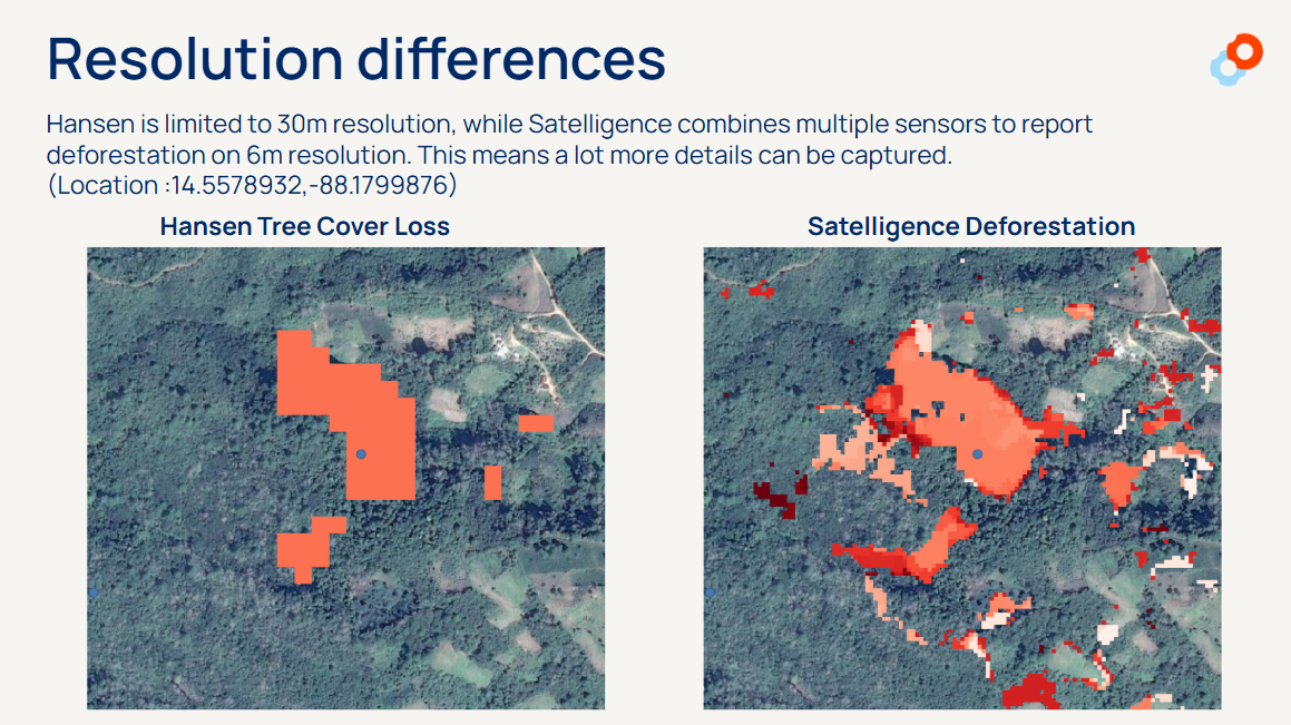
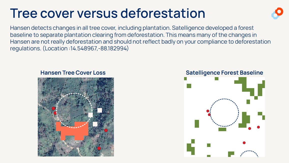
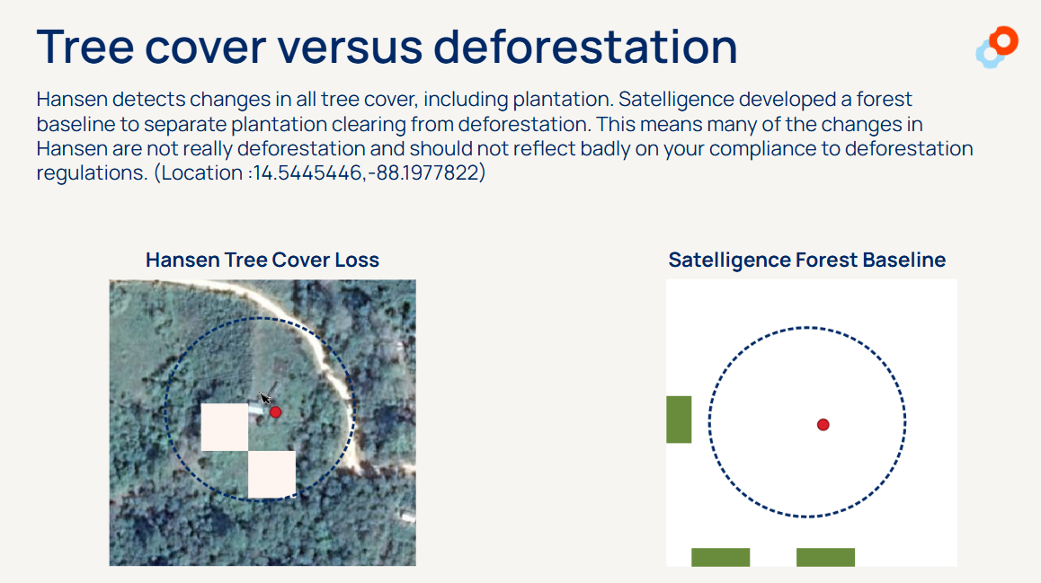
GFW is a great open source platform, but it will require expertise to extract and interpret the available data. Deforestation monitoring is made possible through forest cover change detection algorithms. These algorithms change, and affect forest change time series analyses. So when you use the platform to generate an analysis at one point in time, later when you try to run the same analysis you might observe a significant change in forest cover.
Without the right expertise, it is difficult to identify whether this is truly due to deforestation, if the deforestation is relevant, or simply a change in the detection algorithm and what that change means for your business and area of interest.
Clients we work with who previously used GFW, have also shared that the system provides an overload of deforestation alerts without any prioritization for your specific business / area of interest. Not all deforestation is equal, or relevant. For example, if an oil palm plantation is cut down for replanting, satellite data will identify this as deforestation. This is very different from a deforestation detection in primary forest or HCV areas, or on peatland.
The advantage of working with us is that we have a team of remote sensing and tropical forest landscape experts, and software engineers to analyze and curate the data for you. We can help you proactively monitor deforestation, and tailor outputs to your specific reporting needs - whether this is having access to our platform where you can investigate deforestation detections with high resolution satellite imagery set to your areas of interest, or download PDF reports that provide an analysis of the proportion of your supply chain that is verified deforestation free.
Another advantage is that we can include supply chain asset data, including mills, concessions, and their linkages, so that you can see how close a particular deforestation detection is to your supply chain - whether it is inside a concession or not. This allows you to develop a targeted engagement strategy. We also developed a case tracking system so that you can track/indicate which supply chain entities with deforestation are under investigation, and which ones have been resolved.
For areas where you do not have any supply chain asset data, we can supplement with access to our Satelligence supply chain database.
We actively engage with our clients to gather feedback and input for further improvement to our services and products, and have a dedicated support team to answer your questions.
Lastly, we offer more than just deforestation monitoring as a service. We can ensure you meet all your reporting and compliance needs across different reporting frameworks and supply chains.
The information below provides a detailed look at the difference between Satelligence and open source data providers that are often use Hansen Tree Cover Loss data to monitor land use change.